Nicole Switzer
Rockaway Real Estate Agent

Where is Edgemere, Queens? • What blocks are Edgemere? • Flood zone info • Home Availability • Development Projects • Edgemere vs Arverne
Where Is Edgemere, Queens?
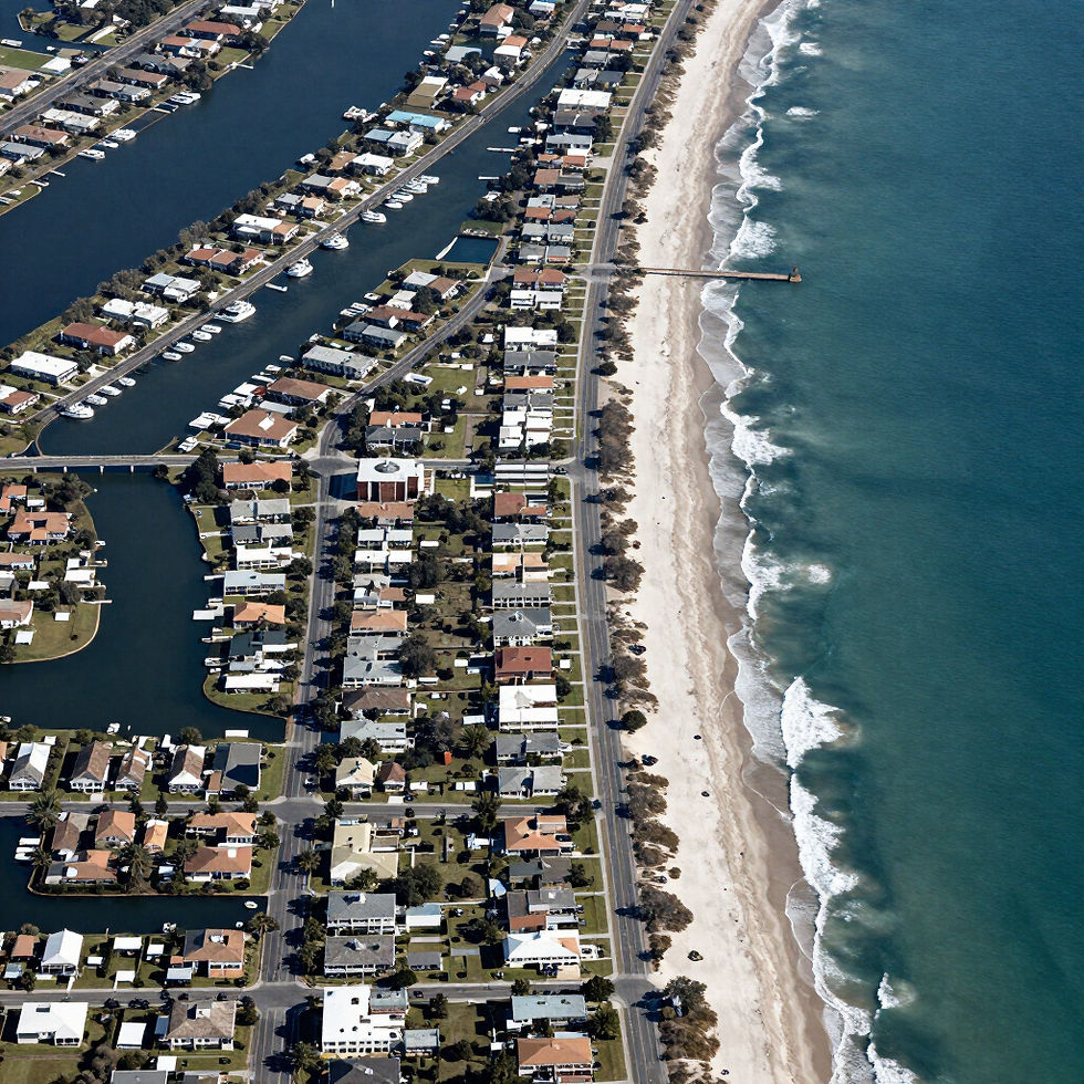
Edgemere is located on the eastern portion of the Rockaway Peninsula in Queens, New York City. Jamaica Bay lies to the north and the Atlantic Ocean and Rockaway Beach lie to the south.
Neighborhood boundaries in the Rockaways can overlap depending on local usage, mailing address and the map being used. For a useful geographic reference, NYC’s Resilient Edgemere planning area encompasses approximately 166 acres generally between Beach 35th Street and Beach 51st Street, from the bay side toward Rockaway Beach Boulevard and the Rockaway Freeway. The broader area people describe as Edgemere may extend beyond that formal planning boundary.
Edgemere sits between Far Rockaway/Bayswater to the east and Arverne to the west, while the large Arverne East redevelopment area directly affects the transition between Edgemere and Arverne.
EDGEMERE AT A GLANCE
Borough: Queens
Area: Rockaway Peninsula
Primary ZIP: 11691
North: Jamaica Bay
South: Atlantic Ocean / Rockaway Beach
Major Roads: Beach Channel Drive + Rockaway Beach Boulevard
Subway: A train service along the peninsula
Nearby: Far Rockaway, Bayswater, Arverne and Arverne East
Map of Edgemere with Beach 35th, Beach 41st, Beach 44th, Beach 50th/51st, Jamaica Bay and the Atlantic Ocean labeled.
Understanding Edgemere Block by Block
BEACH 35TH–40TH STREET AREA
The eastern portion of Edgemere connects toward Far Rockaway and Bayswater and includes residential streets, public facilities, schools and access toward the bay. The area around Beach 35th Street is also important to the City’s plans for improved access to Bayswater Park.
BEACH 40TH–45TH STREET AREA
This is an important residential and community section of Edgemere. The Beach 41st Street Houses, Beach 41st Cornerstone Community Center, Edgemere Farm and numerous one- and two-family residential properties are located in or around this portion of the neighborhood.
BEACH 45TH–51ST STREET AREA
Moving west, buyers encounter additional low-density residential blocks, newer construction and redevelopment sites. This portion of Edgemere also transitions toward larger development projects and the western edge of the formal Resilient Edgemere planning area.
BAY SIDE VS. OCEAN SIDE
Beach Channel Drive is an important dividing reference point. Properties closer to Jamaica Bay can have different drainage, elevation and flood considerations from properties farther toward Rockaway Beach Boulevard and the Atlantic Ocean. The City’s own drainage studies found particularly important long-term flood concerns in low-lying areas north of Beach Channel Drive.
LOCAL REAL ESTATE TIP
Never evaluate an Edgemere property based only on “11691.” Two homes several blocks apart can differ substantially in legal use, elevation, construction date, flood considerations, lot size and surrounding development.
The drainage point is especially important. NYC’s study found that low topography, groundwater and sea-level rise create increasing long-term risks, particularly north of Beach Channel Drive.